Saturday, November 23, 2013

Bear and South Boulder Peaks

Up and down from Shanahan Ridge Trailhead (glad I found the bus stop there). Should probably invest in some Kahtoola microspikes at some point (50% of the people I saw had them), but the traction wasn't too bad in my normal shoes. Finally got my South Boulder Peak summit. Nice views and cold hands:
Indian Peaks (I think) from Bear
Top of Bear
Longs Peak
Top of South Boulder

Thursday, November 21, 2013

1st & 2nd Flatiron Loop

Woke up this morning to the first notable snow of the winter this morning and decided to hit up Chautauqua. Thought about going for Green, but I wasn't sure if my foot was ready for that kind of distance and vertical. I figured the 1st and 2nd Flatiron loop would be a good median. I haven't ran even a real hill in almost 3 months, so my legs felt as fresh as the snow on the ground. Snow was also nice because you can't go too fast on snowy/icy rock and it provides a good cushioning for the foot. I didn't push it too hard, I hiked and took pictures whenever I wanted. The run was awesome, I think this is actually the happiest I've ever been on run. It was just perfect. Would definitely recommend doing a snowy run like this to anyone who is interested. I'd say the pictures say why:

Looking up the first.

Icicles on the side of the first.

Base of the first

Icicle.

Rock with snowy (obviously)

The first from the trail up.

Top of the first from the top of the trail.

Top of first from the top of the trail.

Best view of the city I got, clouds were really thick.

Saturday, November 9, 2013

Bear Peak Night Climb

Wow, this was an adventure. Since I have been healing from a stress fracture in my foot, I have been doing a lot of hiking which has lead to some climbing. Also since, I'm studying engineering I don't get much time to go. So Friday night I took the bus to the trailhead nearest to Bear Peak in Boulder. As a preface, here is my GPS tracks (I turned off the GPS for a short segment).

Segment 1, GPS could get location right away, stops at base of climb.
Starts far left at the end of the climb, notice the missed junction down Bear Canyon just to the right of Distance 1.

Much Void
I hiked under a setting sun for the first 45 minutes and then it was all headlamp from there. I arrived at the base of this huge slab at the base of Bear, it stretches out lengthwise across almost the entire mountain. I decided I would do some climbing. In the darkness it wasn't too hard to climb, I took my time looked around and found routes pretty easily. You can see what I climbed in the gap between the two GPS tracks. It wasn't until I realized that when I looked back down that my light no longer reached the ground. There was just a void of blackness. Didn't feel like messing with my camera 500 ft up on a wall to make the picture not suck.


Boulder city lights, the creek is the black band breaking up the city. Much beauty.
It was an odd and somewhat surreal feeling, almost as if the world ceased to exist outside of my illuminated area. It was a pretty warm night, no clouds in the sky to block the stars, and the ridge line of the flatirons sheltered me from the wind descending from the west which hammered Boulder all day. Looking back east, I was above the trees and had a fantastic view of the front range, all the way from Boulder to Denver. I found my camera may not be the best suited for night photography, but here is the best shot I got of the city lights. For some reason the sweeping panorama wouldn't work at night either.


Moon at framed by wood and rock stuff. Such Lunar.
I realized at a certain point that downclimbing would take forever and be not fun at all, so I traversed my over to the North side of the slab and found a relatively flat gully full of solid holds and footing that was really easy to downclimb out of. Now that I was on the edge of this flatiron, I knew I could just follow it straight up and I would end up on the summit of Bear. A lot of really fun scrambling in this part. The moon at this point was positioned perfectly. As I climbed it was consistently framed by the edge of the rock and the trees. I took probably 80 pictures of this trying to make the flash flood the right foreground objects, this was the best shot I ended up with.

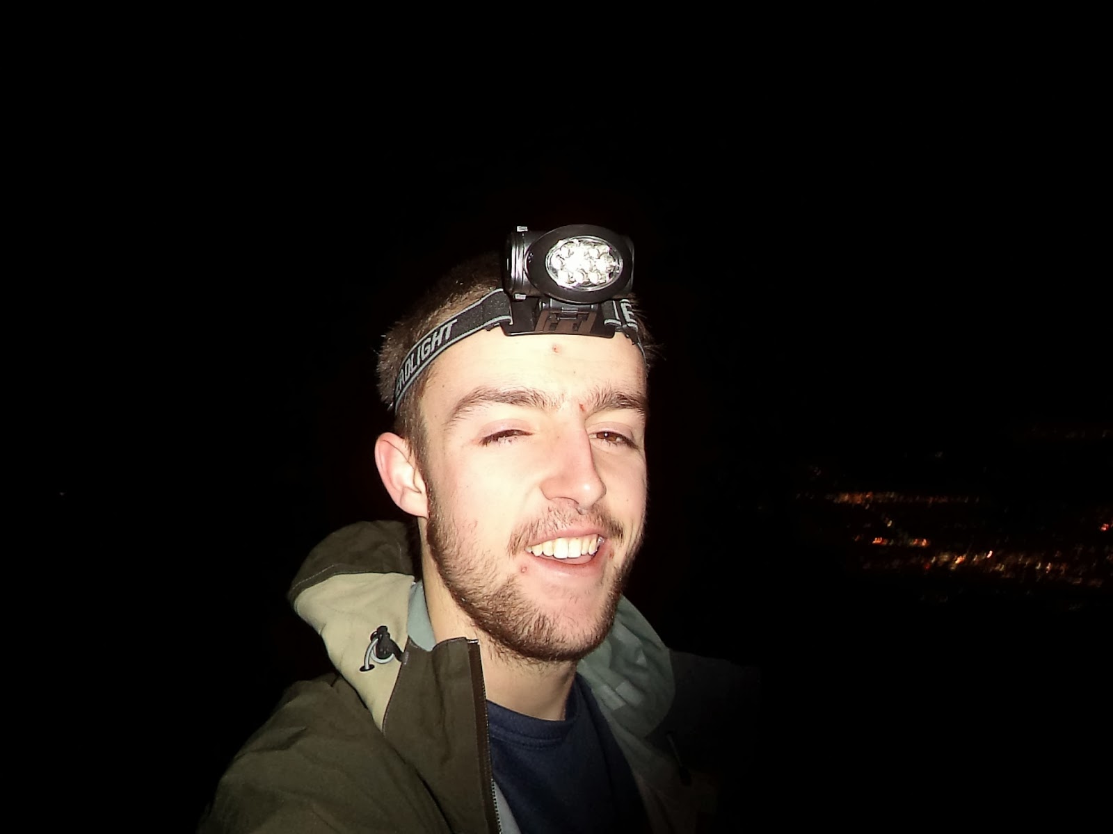
Although technically this was not on an actual trail, it often felt like I was. I would have to assume climbers have created there own trails in this area with all of the awesome spots. Eventually I hit a long stretch of talus which finally gave me a view of the summit. I often found myself turning off my headlamp to get my bearings. The flood of light right around me didn't allow my eyes to see into the distance too far. I hit the actual trail about 200 ft below the summit. Finally I reached the top. Quick advise: do not attempt a summit selfie with eyes adjusted to the dark with a bright flashing camera.
Such eyes
Summit marker at top left, Much denim. Wow.
Heading back down I was zipping along the trail until...BOOM I lost the trail. I'm realizing I'm really good at getting zoned out and totally missing a turn and taking some route that vaguely resembles a trail. I realized that I missed the turnoff for Bear Canyon and instead bushwhacked my down to Fern Canyon. Yes, literally there were hundred of leave-less bush branches whipping me in the face. I have ran Fern Canyon many times before on the descent of Green Mountain and I knew the trail was right alongside the stream. I could here the water but the close I got, the denser the bushes became to the point where I couldn't get through them. I would guess my pace at this point was about 2 hours a mile. When I remembered there were power lines next to the trail, I was back on packed dirt pretty quickly. The junction of Fern Canyon, Bear Canyon and the Mesa trail is super confusing, judging on the lay of the land, when I took the downhill trail South, that to me made total sense being the Shanahan Ridge trailhead I started from was downhill and to the South. Wrong (again). I realized where I was pretty quickly, but I also realized that taking the Mesa trail back to Chautauqua would only add 30 minutes. But I was really tired and since I had left the shelter of the ridge, the wind had resumed its 40 mph gusts; I called my room mate, and he agreed to meet me at NCAR with his motor car. Great success. Hashtag Adventure.

Thursday, September 26, 2013

I met Kilian Jornet!

Kilian Jornet was at the Boulder Running Company for a presentation, Q&A and book signing Thursday night. I managed to snag the 5th to last ticket. If your reading this and don't know who he is: Google/YouTube him, he is insane. One story that basically summarizes him is that he said "When I was about 13 I found this really cool loop through the mountains, it was about 50 miles". Now he has a pretty thick accent, but even if that was 15 its still ridiculous. Anyways, I got a copy of his book signed and got a picture with him. Crazy.

Friday, September 13, 2013

Flood Run

So after my my 4 14ers and 69 mile week my body had enough and I've been sick since Monday. Just when I was starting to get better, Boulder flooded. So I ended up not being able to run (or do any physical activity besides drag my sick body to class) for 5 days. The monsoon rain stopped this morning and the sun was visible again so I went out to get in a few miles and see the damage. I had been following the events on Twitter quite a bit from home so I knew it was pretty bad but that the water should have receded enough to check things out safely. I stuck mainly to the Creek path.
Creek path underneath 28th (picture above & below)

I read if this amount of percipitation would have fallen in snow form it would be 10ft. Being from Colorado I have no idea how to quantize rain in inches.

If you look at the white car far back, about 5 seconds after I took this it, the ware was about half way to the windows.
Western side of Creek path 28th street underpass
Creek/Folsom, didn't want to take pictures of peoples apartments here, but they were obviously soaked. 
Just below Folsom Field, a lot of the area is like this, not too deep with water and muddy.
And people wondered why I didn't want to play in the flood waters...
Bridge from Sewell Hall to creek path totally washed away
Bike sharing at its prime right below Sewell Hall
Boulder High area, low depth fast flowing waters.
I really couldn't see the path at all in a lot of places, nor tell where it went even after running it 3 or 4 times a week for the past year. Scenery is totally different and will take a long time to clean up this mess.

Boulder High, to the right of the fenced area is BHS's practice fields for lacrosse, soccer, etc. total swampland now.
If you were watching news the first night, this is the tunnel in that first video. This is the tunnel a lot of off-campus students use to get to class. The mosaic tiling was finished Monday or Tuesday, just in time!
Shoes covered in mud, I honestly tried avoiding water/mud but it was impossible.
Water problems are over, but the cleanup of dirt and debris is going to take months. Going to need to find a new go to path since the creek will be impassable for a couple of weeks. Breathing still felt kinda sickly, 4 more days or so and I should be ba
ck to normal.

Distance: 4 miles, Pace: Slow, Vertical: 2ft or something, Fastest mile: 25:30 or something :)

Monday, September 9, 2013

Democrat, Cameron, Lincoln and Bross

Democrat, Cameron, Lincoln and Bross


Sunday I was up early again for a pickup at 4:45 to head out and do some hiking (actually walking!). We had a group of 4 guys and 1 girl going up in a little Subaru Outback that I later found out a guy got for free. On the way up, just before we got to Breckenridge, on a totally straight road with no turnoffs, the car in front of us randomly turned on his turning signal and stomped on the brakes. Being totally without warning we ended up hitting him (really lightly though, there wasn't even a scratch on his car). Our driver hopped out of the car said sorry and the whole deal. The other guy climbed out of the car still smoking and was noticeably extremely high. He saw there was no aesthetic damage, said nothing, gave us a thumbs up and got back in his car and drove away. Weird.

The parking lot for the climb up to Democrat/Cameron is literally the base of the climb. There is no lead-up at all, even from the free parking area. I'll keep this short because the hike was relatively dull, especially for 14ers. We took longer than expected, but it ended up being not too big of a deal, the faster sub-group of us just ended up lounging about in some grassy meadows while we waited for the others. Walking also was a nice change of pace, although I did jealously watch a few other runners pass by. Pictures tell the rest!
Breaking on the initial climb to the saddle between Democrat and Cameron
Saddle - Democrat out of sight on left, Cameron right
Scattered member of group on Democrat Summit
Myself and the guy in the yellow shirt decided after this first summit that the pace was too slow, and we agreed that we would power through the four while others did two or three. We had another guy eventually catch back up later Lincoln. No pictures from the top of Cameron, its the most anti-climatic summit imaginable, small gravel, no big rocks no nothing. We didn't even stop!
Group of the three of us that finished all 4 on top of Lincoln
Lincoln was easily the coolest of the summits, though still not too exciting compare to many summits (even the 12er I did yesterday).
The traverse over to Bross was equally "oatmeal"
Bross another relatively boring summit
The most fun part came descending a super graveling ridge back to the parking lot. It was basically surfing on dirt and rocks. You could slide 10 to 20 ft without stopping (because you couldn't stop). There was tons of dirt and gravel and it felt really stable the whole time. What a blast!
Hard to see here, but the trail itself is full of deep dry dirt and small gravel
The other two behind us (it was the girl's first 14er(s) ever) weren't as comfortable "dirt surfing" down so us three lied down in some grass and enjoyed the mountains for a bit while we waited.
Really pretty area in the valley that the summits surround
I also took this time to try some barefoot hiking! It was fun and challenging. Once the others rejoined us I ended up barefooting the rest of the way to the car (see far left pic above, last car in the lot). Overall, these weren't too exciting, however I think they would really fun to run. There is a great initial climb, then it gives you 500 foot-ish descents and ascents between the rest which would be pretty fun in my opinion. Maybe I'l be back to run them some day.

Random ramblings on mountain adventures:

  1. It was really fun to enjoy the mountains with my friends, but I realized that one of the things I like most about going alone is the solitude. Being in college, there are always loud parties, new friends and other craziness. To me one of the nicest things is to just take a break from all of that and be alone somewhere beautiful, serene and silent. Silence so quiet that your breathing is loud is the coolest thing.
  2. What I like about running these things is that it sucks. The exhausting suffering is the best medicine for your brain. I don't think I've ever "maxed out" myself, but the ability to push through suffering is one skill that I would love to have total control over.
  3. Just because a mountain is a 14er doesn't make it more fun than any 13er, 12er, 11er or anything else. I was happy to add these summits to my collection, but they weren't necessarily super fun. Even Mt Sanitas here in Boulder has more varied and prettier terrain and it only gets to something like 7,000ft. I really think that the concept of a 14er gets blown up too big sometimes. Sure its cool to try and "collect" them; but if you are looking for a better experience, being a 14er is not immediate qualification as a spectacular mountain.
  4. One never "wins" on a mountain (or nature for that matter). You don't conquer it, you don't defeat it. These things have lasted for thousands of years, and they will always be bigger and better than any person. Its the dealer always wins scenario. 
Ok, so maybe I went full Boulder-hippy there but being in the mountains for almost 25 hours this weekend gave me a lot of thinking time.


Saturday, September 7, 2013

Devil's Thumb Thing

Devil's Thumb to "Nearby Summit"

Got way too ambitious this weekend thinking I could run another 20+ miler after already being at 53 miles for the week thus far. Obviously I did not finish all 20+ miles. My goal was to the same Devil's Thumb pass I do all the time and then head South, summit Mt. Jasper then Mt. Neva then descend down to Arapahoe Pass/4th of July Campground back to the main Hessie trail head. So what I realized once I got to the divide was that A) this loop was really hard B) there was no way I would finish it today. Also, I got a new camera!

Took the early bus to Ned then took the shuttle to Hessie. Run started off really well, especially considering I got about 3.75 hours of sleep. I had taken Friday off so I often felt a weird kind of tired where my legs wanted to go but my mind wanted to stop. based off my GPS I was holding 12:30's basically all the way to Jasper Lake. Here is butt load of pictures of the way up (with my new camera).


 Jasper Lake still looked like a puddle with runoff all but gone at this point. Normally I take my first extended break here, but I was feeling really good so I decided to postpone till Devil's Thumb Lake for my extended break. Starting to not feel as good as I got to Devil's Thumb Lake I took a short break, ate a gel and decided I would try and push hard on the wall of ascent up to the divide. That never works, because it is really steep.


 I got probably 3/4 up at a blistering 25 minute pace (Edit: Yeah right, 25 minutes its barely walking. MapMyRun can be stupid on these steeps sometimes; GarminConnect more accurately says I was at like 18 minute pace), which on that hill felt like about a 4:20 mile in my mind. Then I realized I was pretty tired so I took a little climbing excursion to a rocky thing near the trail. Sat up there for maybe 5 minutes and messed the new camera. More rando photos:

Also these shoes are bomb. They're the Altra Superiors, they're kind minimalist but not too much. Just perfect.
Pounded my way up to the divide up the final bit of climbing at about an hour in total time. Meaning my average at this point went from around 13 to 17 minutes per mile just from the maybe a mile of steep. The divide was totally empty except for one guy way in the distance working his way over to the mountain which I thought was Jasper. Photo spam from the divide:

Love them meadows
I walked up a bit thinking I was ready to keep going, but an extended break sounded nice so I found a nice spot in the grass, layed down, ate some food, responded to some texts (you get full bars once you get to the top, no service everywhere else) and realized I did not bring enough water. Usually I don't need too much (I have a friend that refers to me as a cactus when it comes to my nutrition/water on the go), so I wasn't worried at this point. I climbed a small hill then descended back down to the base of what I thought was Mt. Jasper, apparently it was called Peak 12626 or something stupid like that. Regardless, it was defeatingly hard. There was no trail so I figured I go for the direct line which meant charging up 16% (Edit 2: again 16% is just not true, this was practically a climb, its steep enough to touch the ground in front of you while standing upright. Probably closer to 30%) grade. I went to my method of picking a rock, running to it, dying, being reborn and repeating. There were like 9 false summits which made it all the more difficult mentally. I was really tired at this point. I got to the top and needed water, enough that there was about 4 oz at most left for the remaining 10 miles which from the looks of where I was headed

would take a really, really long time. I sat pondering for a bit and decided to again ditch the loop and make it an out and back. Less than 4 hours of sleep, a heavy distance/hills week (in which I missed 70 miles by 3 miles) probably contributed a lot, but I would say running a (some) 14ers is easier than this double summit loop. Someday I'll return more rested and prepared and give it another shot, its definitely doable. I was also craving Gatorade as the lake below looked like a pool of blue Gatorade.


I descended the absurdly steep, trail-less, poorly named mountain which was pretty fun. The view of the thumb from this area is really cool too:

Its the big thing that looks vaguely like a thumb
There is a decent hill back to the official Devil's Thumb Pass trail, which my legs were screaming at me not to do, so I decided to go down this talus steep thing. It was weird and slidy, kinda fun I suppose.

This turned out to be really stupid because it dumped me into a bushy swamp area and I had to furiously bushwhack my way back to the trail. 

The swampy area is right around the lake, the trail is just on the other side. So close but so far away...
At this point I was getting pretty exhausted and my legs felt horrid. Especially my left quad. It was very displeased. It was 12:10 at this point and there was a bus at 1:30 I wanted to get to. I had a gel and ran very uncomfortably down. The quad continued to feel worse and worse. My pace was descent at first, staying in the mid 10's right on pace for a close call for making the bus. It hurt a ton, but I wanted to get home. For some reason when my GPS ran out of battery that was the final straw, the quad was in this weird sore/tired/cramping state that I did not approve of. I threw in the towel for running. I walked like 2 miles which felt super disgraceful for me since I always prefer to run everything I can. Still, I think it was the right decision. Realistically there was no way I would make that bus, so I hobbled along babying the leg and enjoying the scenery. I ended walking most of the way with the only other guy I saw up on the divide. We didn't know at first, but we got talking about where we went and figured it out. He had a dog that was a champ. There was definitely some high class 2 low class 3 in there which for a dog is nuts. Of course I missed the bus, but the shuttle took me to Nederland and I went to a coffee shop. It was actually pretty nice to just chill up there for a bit.